Jotunheimen, Norway
Galdhøpiggen - Hiking the Highest Mountain in Norway
Galdhopiggen is the highest mountain in Norway at 2469 m. 12 km return from Spiterstulen, summer glacier crossing, and what to bring for Northern Europe's highest peak.
Published May 5, 2026 · Last updated May 5, 2026 · researched
Map data: © OpenStreetMap contributors, tiles by OpenTopoMap (CC-BY-SA). Approximate location — verify the exact route on the official trail page before hiking.
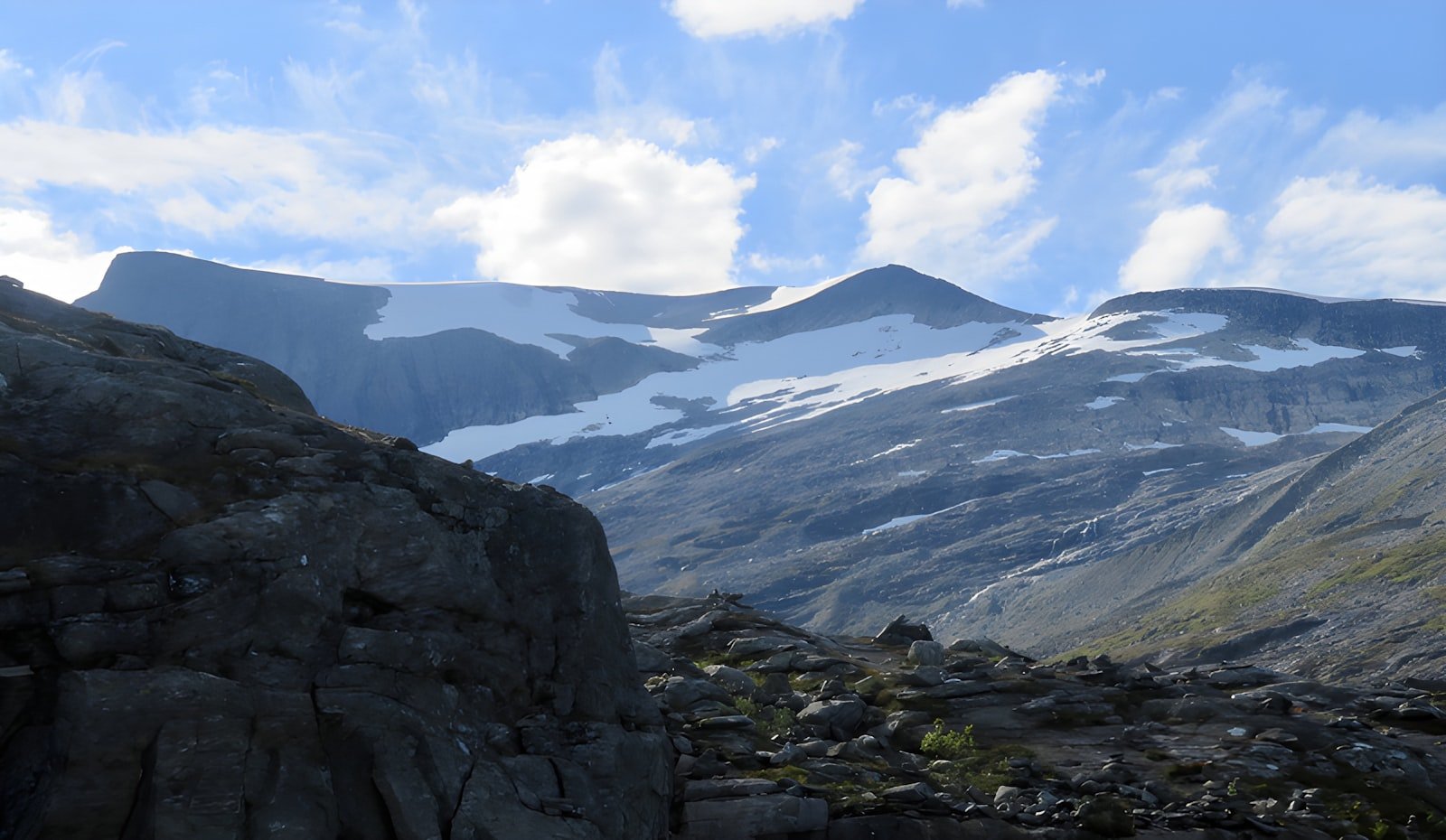
Galdhøpiggen is the highest mountain in Northern Europe at 2469 metres, and one of the few high peaks anywhere that a non-mountaineer can summit in a single day. The standard summer route from Spiterstulen is 12 kilometres return with 1370 metres of elevation gain - long, steep, and at altitude, but not technical.
The catch: the parallel route from Juvasshytta crosses the Styggebrean glacier, where you walk roped to a guide. Below the glacier, no equipment beyond hiking boots is needed. Pick the route that matches your comfort.
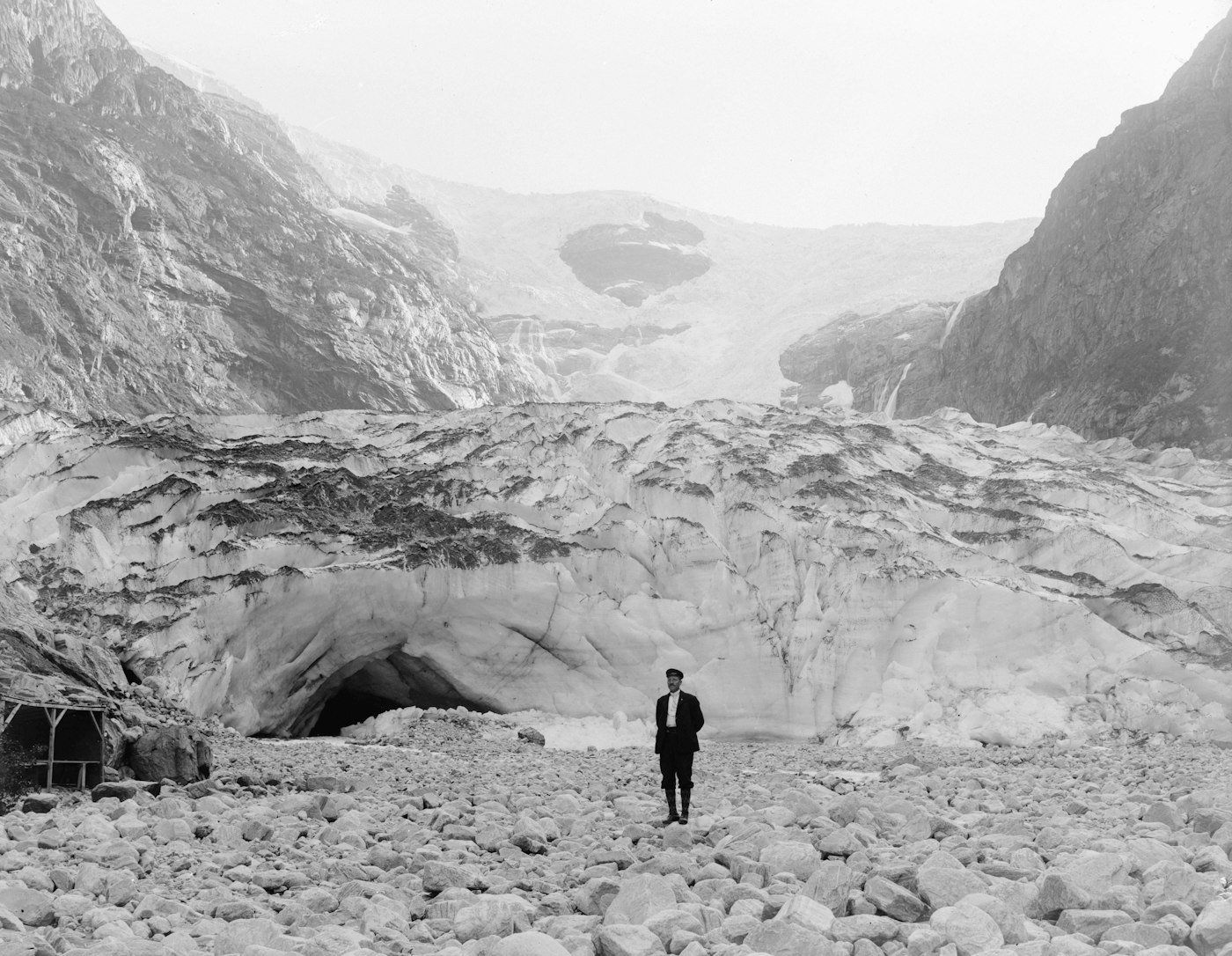
Photo: Fylkesarkivet i Vestland on Unsplash.
The two routes
| Spiterstulen | Juvasshytta | |
|---|---|---|
| Round trip | 12 km | 7 km |
| Elevation gain | 1370 m | 700 m |
| Time | 7-9 h | 5-7 h |
| Glacier crossing | No | Yes - roped, guided |
| Cost | Free | ~750 NOK guide fee |
| Crowds | Quieter | Much busier |
| Difficulty | Hard but non-technical | Moderate physically, easier altitude |
Most fit walkers prefer Spiterstulen - the longer route gives better acclimatisation and avoids the queue and fee at Juvasshytta. The Juvasshytta route is the right choice if you have less time, less experience, or want the security of a guided rope team on the glacier.
When the trail is open
Snowmelt at altitude is late in Jotunheimen. The reliable summer window is mid-June to mid-September, with peak conditions in late July and August. Outside this window the route requires winter mountaineering equipment and a registered guide.
The summit can be cold and exposed even in July - overnight temperatures around the cabins frequently drop below zero, and a sudden weather change at altitude is normal.
What the day looks like (Spiterstulen route)
- Start at the Spiterstulen DNT lodge (1106 m). Aim to be moving by 7 am - afternoon weather is unreliable at altitude.
- First climb through Visdalen valley up to a ridge at ~1700 m. Marked with red Ts on rocks.
- Cross a saddle with views down to the Styggebrean glacier on your left.
- Steady climb along the south ridge of Galdhøpiggen - broken rocks, no real technical sections.
- Final 100 metres: a stone-built shelter and the summit cairn at 2469 m.
- Return the same way. The descent is on tired legs and is when most ankle injuries happen - use trekking poles.
Total: 6-7 hours up, 2-3 hours down.
What to bring
- Boots with ankle support - the descent is rocky and long
- Trekking poles - essential
- Three layers minimum at the summit: base, fleece, shell
- Hat and gloves - yes, even in August
- 2 litres of water - streams above 1700 m are unreliable
- Sunglasses - the snow reflects strongly at altitude
- Sunscreen - UV exposure at 2400 m is significant
- Headlamp - if you start late or weather slows you, you may finish at dusk
If you take the Juvasshytta route, the guide office provides crampons and a rope team for the glacier section. You bring everything else.
Sleeping nearby
Spiterstulen is a private DNT-affiliated mountain lodge at the trailhead with rooms, a restaurant, and parking. Most people stay one night before the climb to start fresh and acclimatised.
Juvasshytta at the alternative trailhead serves the same function for the glacier route.
Wild-camping under allemannsretten is fine in the lower valleys, but not recommended at altitude - water sources are limited and the nights are cold.
Common questions
Is altitude a problem at 2469 m?
For most healthy adults, no. You may notice slightly heavier breathing on the final climb but full altitude sickness is rare below 2500 m. Anyone with respiratory or heart conditions should check with a doctor before attempting.
Is it as crowded as Trolltunga or Preikestolen?
No - the access is harder (no shuttle bus, the road is long), and the trail is harder. On a peak July weekend you might share the summit with 100 people; on Trolltunga the same day, 1500.
Can children do it?
Confident hill-experienced teenagers, yes. Younger children, no - both routes are too long and exposed for young legs.
What if the weather closes in at altitude?
Turn around. The summit is not worth a thunderstorm at 2400 m. Galdhøpiggen will be there next year.
Can I summit and go down the other route?
Yes - many do, with one car shuttled between Spiterstulen and Juvasshytta. The two trailheads are 30 minutes apart by road.
Sources: Norwegian Trekking Association, Spiterstulen Lodge, and Jotunheimen national park information service.
Keep reading
- Besseggen - the famous ridge in the same national park
- The best time to hike in Norway - when the high passes are open
- DNT cabin system - using Spiterstulen and Juvasshytta as base camps
- Hiking in Norway: the complete guide - the hub