
Tysfjord, Norway
Stetind - Hiking to Norway's National Mountain
Stetind approach hike: 12 km return to the base of Norway's 1392 m granite national mountain above the Tysfjord. Arctic scenery, no technical climbing required.
Published May 8, 2026 · Last updated May 8, 2026 · researched
Map data: © OpenStreetMap contributors, tiles by OpenTopoMap (CC-BY-SA). Approximate location — verify the exact route on the official trail page before hiking.
Stetind is a 1392-metre granite obelisk rising straight from the Tysfjord, voted Norway’s nasjonalfjell (national mountain) in 2002. The summit itself is a technical climb - not a hike - and demands rope, harness, and either experience or a guide. But the approach walk to the base of the obelisk, along the edge of the Tysfjord 100 km above the Arctic Circle, is a striking day-walk that any fit hiker can do.
This page is about the approach walk, not the technical climb. We don’t recommend the summit attempt without a guide.
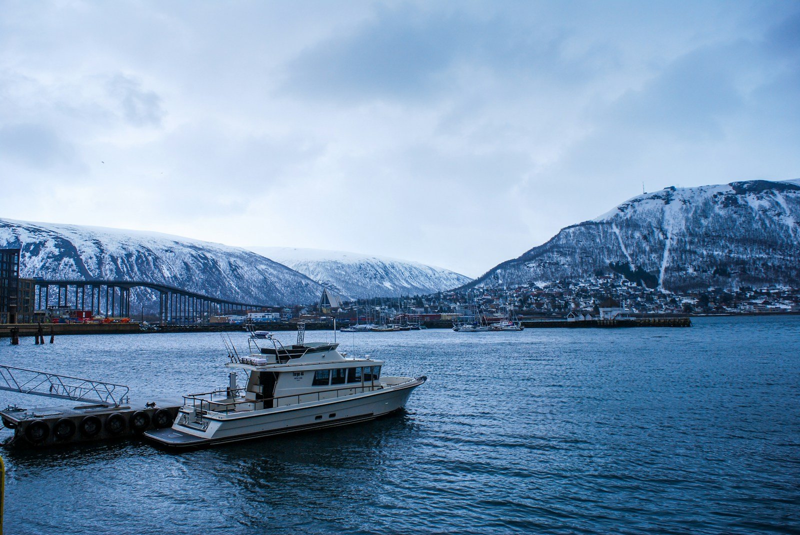
Photo: Eibhlis Gale-Coleman on Unsplash.
The approach walk
The official path follows the Stetinden Hytte → Halls Fortopp route - 12 km return, 600 m elevation gain, ending at a viewpoint that looks straight up the obelisk’s south ridge. It’s the walk Norwegian schoolchildren get as a postcard image.
| Stage | Distance | Notes |
|---|---|---|
| Start at Stetind P | - | Parking, basic info board |
| Forest climb to ridge | 3 km | 400 m gain through birch |
| Ridge walk to Halls Fortopp | 2.5 km | Open, exposed plateau |
| Fortopp viewpoint | - | Direct view up the obelisk |
| Return same path | 6.5 km |
Total: 12 km, 6-7 hours including time at the viewpoint.
When to go
| Period | Status |
|---|---|
| Mid-June to mid-September | Approach walk reliably open, weather variable |
| Mid-September to early October | Excellent autumn colour, shorter days |
| November to mid-May | Snow + ice, approach walk requires winter equipment |
The fjord at this latitude has midnight sun from late May to late July. Hikers can start a sunset-lit walk at 11 pm in June.
Why it’s the national mountain
Stetind beat Galdhøpiggen, Trolltunga, and several others in the 2002 vote. The reasons that came up most often:
- The shape. A near-perfect granite obelisk visible from sea level - one of the most photographically distinctive mountains in Europe.
- The location. It rises directly from a fjord, 100 km above the Arctic Circle. The contrast of granite + sea is unique to northern Norway.
- The history. First climbed in 1910, Stetind has been a touchstone for Norwegian climbers for over a century. It’s the mountain everyone in Norwegian climbing knows.
- Not the highest. Galdhøpiggen at 2469 m is taller. Stetind at 1392 m won on character.
The summit itself is one of Norway’s most respected technical objectives - a 5-pitch granite climb with a notorious move called Mysost-tunga (“the brown-cheese tongue”), a section of slab where the standard holds run out. People die on Stetind regularly enough that local guides will turn down inexperienced parties.
What you see from Halls Fortopp
The viewpoint sits on a shoulder roughly halfway up Stetind’s south ridge, at about 600 m. From there:
- Directly above: The remaining 800 metres of the obelisk’s south ridge - the standard climb route. You can see climbers as small dots if anyone is up there.
- Below: The Tysfjord, often with the small Stetinden Hytte visible at the end of the road, and the Drag-to-Kjøpsvik ferry coming and going.
- East: The Stortinden chain, lower and more rounded, completely different geology.
- West: Out toward the Lofoten archipelago. On clear days, the Lofoten Wall is visible 50 km away as a wall of jagged peaks rising from the ocean.
What to bring
- Sturdy hiking boots - the path is rocky, especially on the upper plateau
- Rain shell + insulated jacket - exposed; weather flips fast at this latitude
- Trekking poles - useful for the descent
- Water - 1.5 L - no reliable streams above the forest section
- Lunch - eat at the Fortopp viewpoint
- Map - Statens Kartverk’s Tysfjord sheet
- Headlamp - even with midnight sun, the inside of the forest is dim by descent
Getting there
Stetind is 150 km from Bodø by road, including a 30-minute ferry crossing of the Tysfjord (Drag → Kjøpsvik). The drive is part of the experience - coastal road through forests, with the fjord opening up as you approach.
| From | Time | Method |
|---|---|---|
| Bodø | 3 h | Drive + Drag/Kjøpsvik ferry |
| Narvik | 1 h 30 min | Drive (no ferry) |
| Lofoten (Svolvær) | 5 h | Drive via E10 + ferry |
There is one bus per day in summer from Narvik. A car is the realistic option.
Where to stay
- Stetinden Hytte - small private cabin at the trailhead, basic but well-located. Books out in July.
- Drag (15 km away) - guesthouse + small grocery, ferry stop
- Kjøpsvik (across the ferry, 25 km) - campground + budget rooms, larger village
There are no DNT cabins in this area. Wild-camping under allemannsretten is the alternative - there are flat spots near the trailhead and along the ridge.
Common questions
Can I summit without a guide?
No, unless you have proven granite-climbing experience and a partner who does. The route is rated as Norwegian climbing grade 4 - not extreme, but real climbing. Pursue a guide through Norwegian Mountaineering Centre in Narvik.
How busy is the approach walk?
Quiet. On a peak July weekend you might share the trail with 20-30 other hikers. Outside that, often empty.
Is it doable in shoulder season?
Late September through October works in good weather, with autumn light at this latitude that’s photographically remarkable. November and onwards needs winter equipment.
What about the Lofoten Wall view?
Best from the Fortopp viewpoint in late afternoon, when the Lofoten peaks are backlit. Bring a long lens.
Is there a hiking-only route up the actual summit?
No. There are three established climbing routes (Sydpillaren, Sørveggen, and Mysost-tunga), all technical. Anyone telling you otherwise is misinformed.
Keep reading
- Galdhøpiggen - the highest peak, also a granite challenge
- Reinebringen - the closest Lofoten day-walk
- The best time to hike in Norway - when northern Norway opens
- Hiking in Norway: the complete guide - the hub